

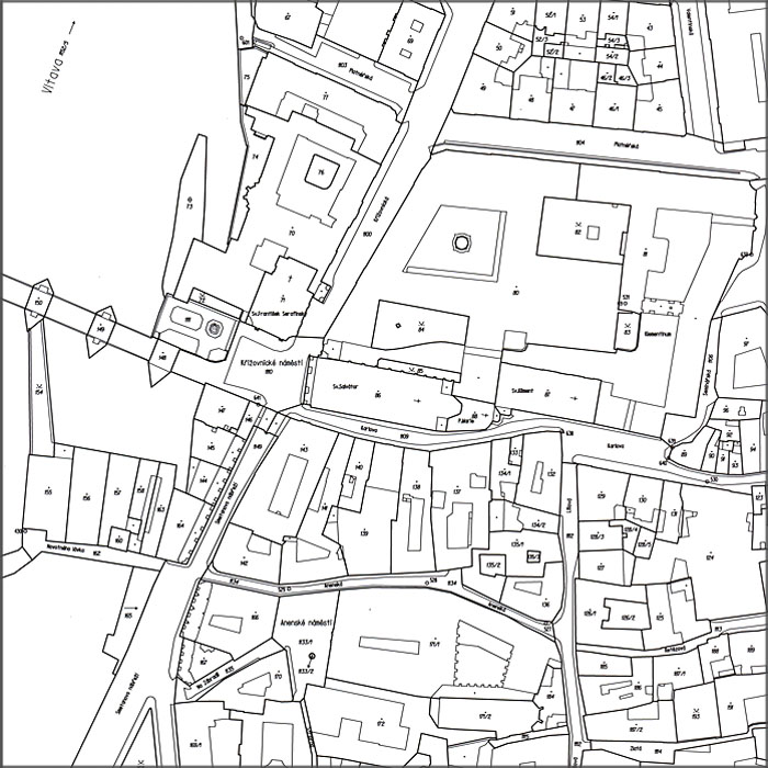
Cadastral Maps
Cadastral map is a national large-scale map series; it contains points of horizontal geodetic control, planimetry and description and can take the form of digital (DKM), analogue or digitized (KMD) map.
 | vector | publishing formats |
|---|---|---|
| Data originate from the cadastral map; they contain specifically KMD and DKM. DKM and KMD data are updated continuously and are approximately 2 hours old. They are projected once a month into the vector Cadastral map. | By files
|


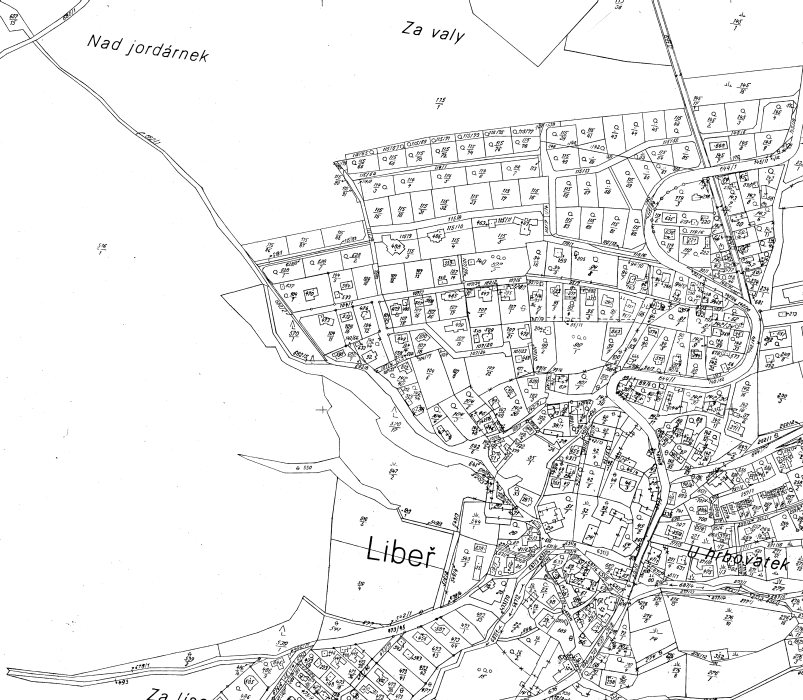 | raster | publishing formats |
|---|---|---|
| Data originate from analogue cadastral map. Analogue map is updated once a year, but in case of big number of changes, it can be updated more often. The changes are projected once a month into the raster Cadastral map. | E-shop
|

Cadastral map is part of the data from the real estate cadastre, which are provided in the form of official document at the cadastral local offices. The data administered in the form of data files are accessible for everybody via remote access to the central database, which is updated based on the documents delivered continuously from the cadastral local offices or ask for bulk data in standard exchange formats, eventually for cadastral map copies in the form of raster files.
The application Consultation of the real estate cadastre enables acquiring of chosen information about parcels and buildings registered in the real estate cadastre including the ownership information and information about the state of some proceedings at the cadastral local offices.
- Free viewing of real estate cadastre data: https://nahlizenidokn.cuzk.cz
- Remote access to the real estate cadastre for registered users: https://katastr.cuzk.cz
- • Information about web map service for cadastral map (WMS KN)
- Data from cadastral map provided according to the INSPIRE Directive
Last revision:
 RSS 2.0 Geoportal ČÚZK