

INSPIRE souřadnicová síť Grid_ETRS89-GRS80
| Informace o produktu | ||
|---|---|---|
 | Název | INSPIRE souřadnicová síť Grid_ETRS89-GRS80 |
| Obchodní kód | Obchodní kód není stanoven | |
| Výdejní jednotka | stát | |
| Cena za jednotku | Bez poplatků | |
| Výdejní formáty | DGN, DXF | |
| Souřadnicové systémy | ETRS89 | |
| Distribuce | 


| |
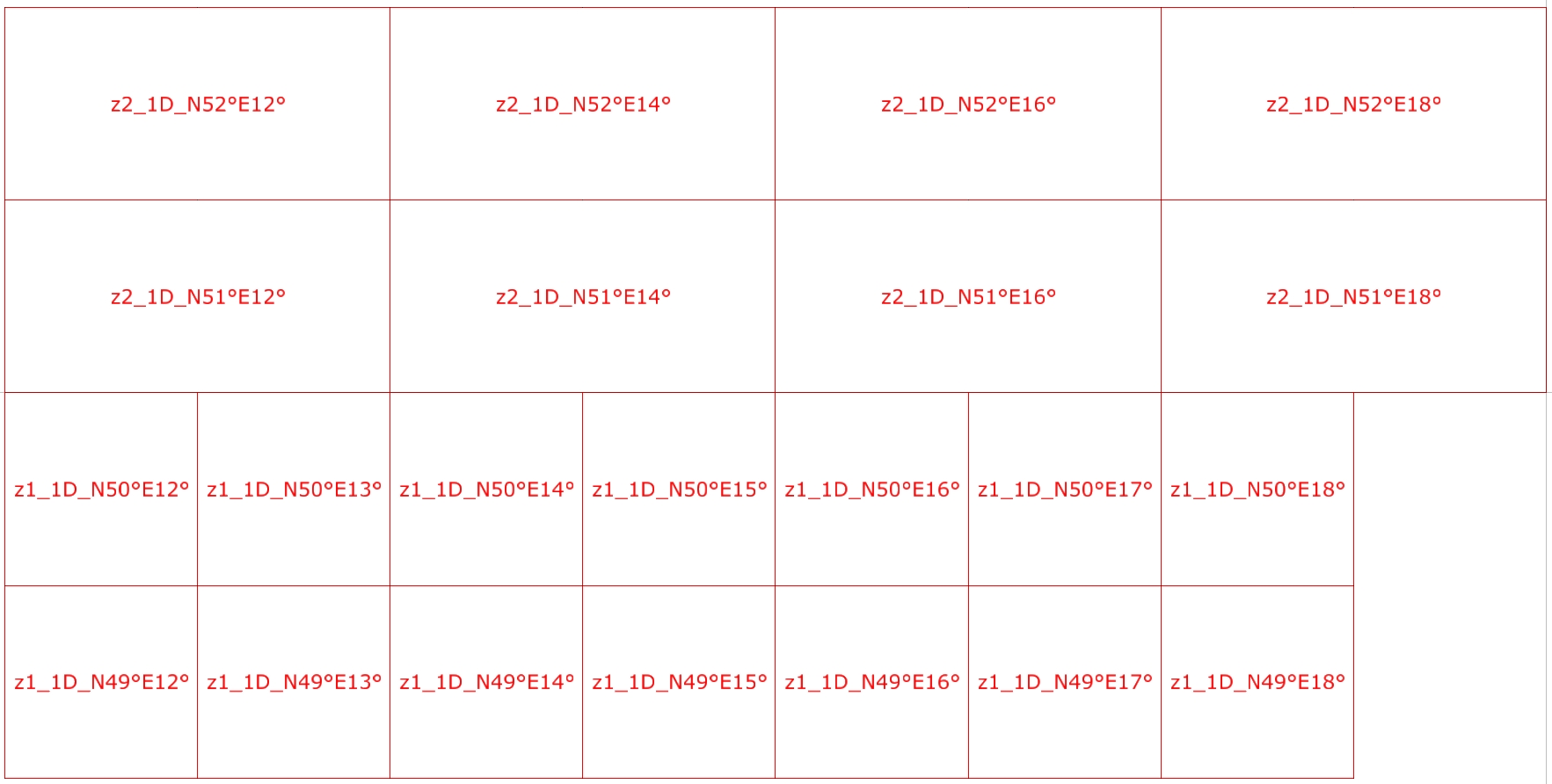
| Popis produktu | Souřadnicová síť sestrojená v zobrazení ETRS89-GRS80, které rozděluje zobrazované území na pásma vymezená poledníky na elipsoidu GRS80 resp. na zóny vymezené rovnoběžkami na elipsoidu GRS80. Souřadnicová síť ETRS89-GRS80 je koncipována jako celoevropský standard zajišťující interoperabilitu dat opatřených geodetickými souřadnicemi (zejména dat ortofot a dat výškopisu). | |
| Aktualizační cyklus - stav aktualizace | ||
| Podmínky přístupu a použití | Bez poplatků Licence Creative Commons CC BY 4.0 Dle Vyhlášky č. 31/1995 Sb. | |
| Prohlížení dat |
Mapová aplikace Služba WMS | |
| Stahování dat |
Stažení dat z adresáře
Služba Atom Stažení předpřipravených souborů - výběr nad mapou | |
| Kontakt - informace o produktu | Zeměměřický úřad, e-mail: ZU-obchod@cuzk.gov.cz | |
Poslední aktualizace produktu:
2014-11-24
2014-11-24
Poslední aktualizace/revize informací:
2025-03-06
2025-03-06
 RSS 2.0 Geoportál ČÚZK