

ZABAGED® - Altimetry - contours
| Product information | ||
|---|---|---|
 | Name | ZABAGED® - Altimetry - contours |
| Commercial code | 633121 | |
| Export unit | SM 5 map sheet (5 km2) | |
| Unit price | No charges | |
| Export formats | SHP | |
| Coordinate systems | S-JTSK / Krovak East North, Výškový systém baltský - po vyrovnání | |
| Distribution | 


| |
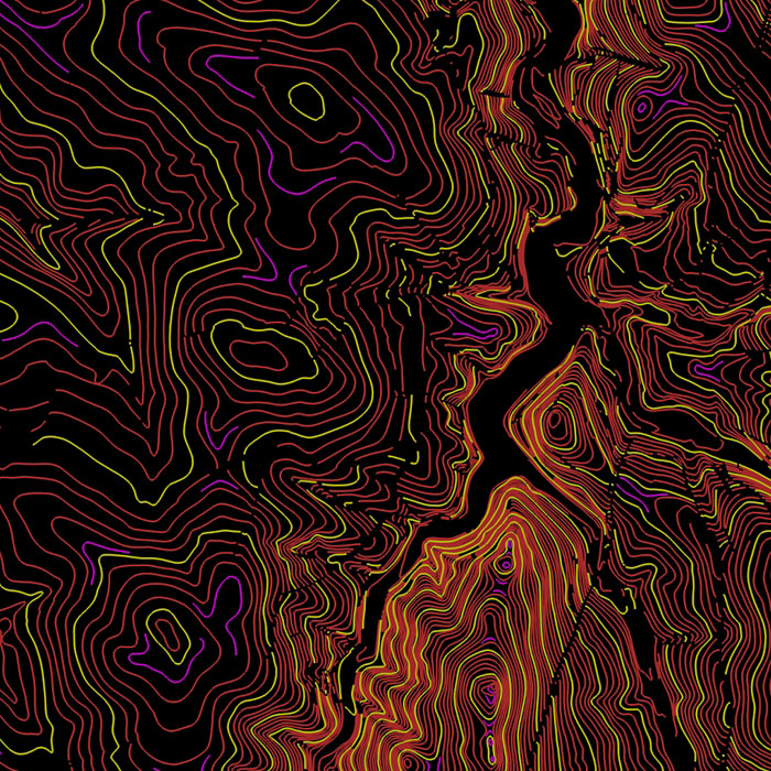
| Product description | Contour lines were derived from the Digital Terrain Model of the Czech Republic of the 5th generation (DMR 5G). The dataset consists of 3 contour feature types with a basic interval of 1 m, which are represented by a three-dimensional vector spatial component with coordinates X, Y, H (H represents an elevation in Baltic Vertical Datum - After Adjustment (Bpv) coordinate reference system, and of an additional layer with fall lines and a label of contour lines. The dataset can be used as a background for cartographic visualisation of contour lines in the map. | |
| Update cycle - update state | The whole dataset is continuously updated The entire data series is continuously updated following the update of the DMR 5G product. Update state | |
| Conditions applying to access and use | No charges Creative Commons CC BY 4.0 License According to Regulation No 31/1995 Sb. | |
| View data |
Web map application WMS service | |
| Data download |
Atom service Export of a current extent Pre-defined files download - selection above the map WFS service | |
| Contact - product information | Land Survey Office, e-mail: ZU-obchod@cuzk.cz | |
Product last update:
2021-11-10
2021-11-10
Information last update:
2023-10-12
2023-10-12
 RSS 2.0 Geoportal ČÚZK