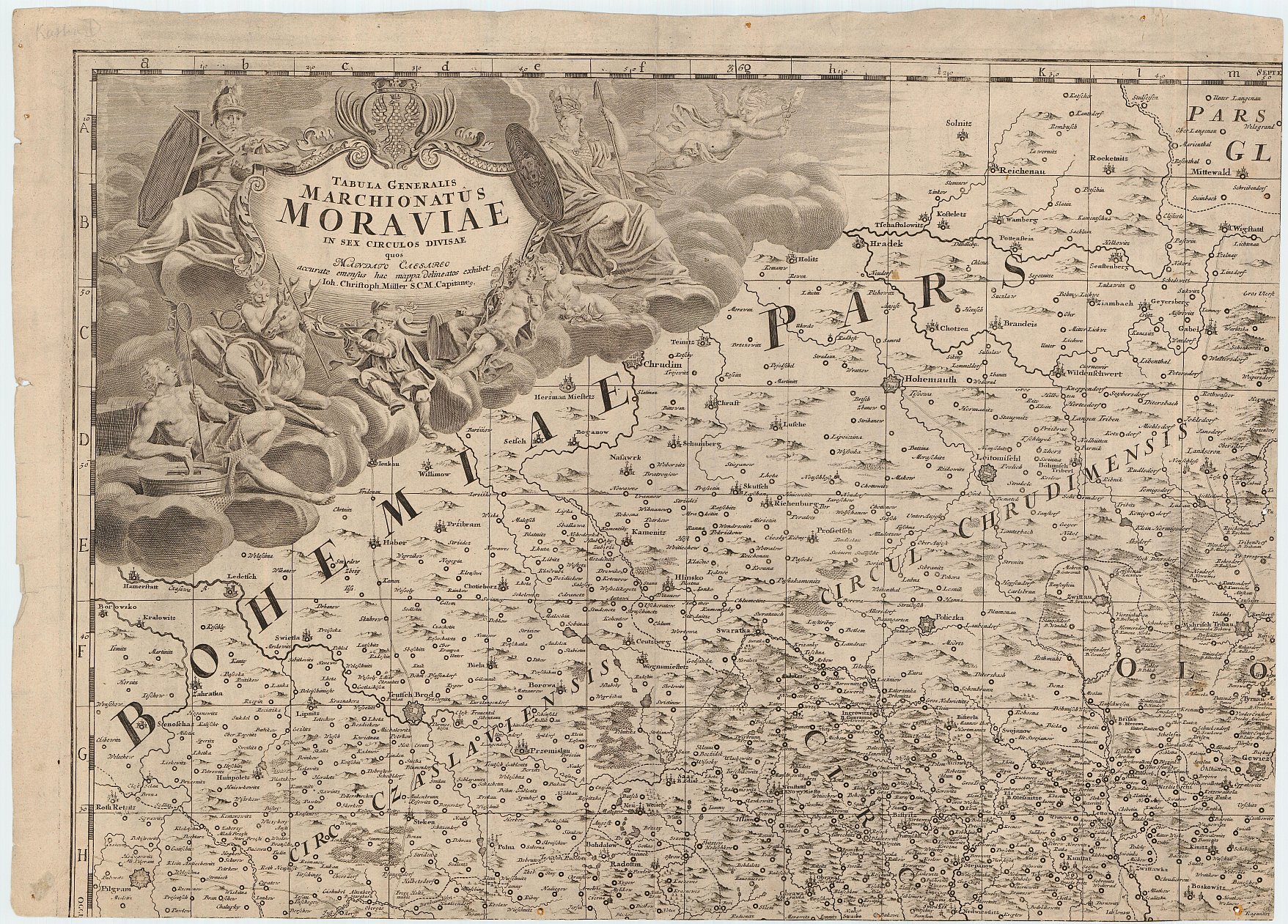
Müller's map of Moravia from 1716
| Product information | ||
|---|---|---|
 | Name | Müller's map of Moravia from 1716 |
| Commercial code | 632789 | |
| Export unit | Moravia | |
| Unit price | According to Regulation No 31/1995 Sb. | |
| Export formats | TISK | |
| Coordinate systems | ||
| Distribution | 

| |
| Product description | Müller's map of Moravia and an adjacent border region is from 1716. Johann Christoph Müller is an author. It is oriented to the north. 4,091 settlements, hydrografy, vegetation, relief, roads, boundaries and other features are shown on the map. Terminology is mostly in German, partly in Czech. Descriptions are in Latin and German. It was printed on 4 map sheets, later 2 sheets with index were added. There is an appropriate decoration next to the name of the map. | |
| Update cycle - update state | It is not a subject of update, it is a preserved map copy. | |
| Conditions applying to access and use | According to Regulation No 31/1995 Sb. | |
| View data | ||
| Data download | ||
| Contact - product information | Czech Office for Surveying, Mapping and Cadastre, e-mail: prodejna.map.praha@cuzk.cz | |

Product last update:
1716-01-01
1716-01-01
Information last update:
2023-06-30
2023-06-30


 RSS 2.0 Geoportal ČÚZK