

Současná stavová data RÚIAN v kompletní datové sadě poskytovaná po obcích ve formátu VFR
| Informace o produktu | ||
|---|---|---|
 | Název | Současná stavová data RÚIAN v kompletní datové sadě poskytovaná po obcích ve formátu VFR |
| Obchodní kód | Obchodní kód není stanoven | |
| Výdejní jednotka | obce | |
| Cena za jednotku | Bez poplatků | |
| Výdejní formáty | VFR | |
| Souřadnicové systémy | ETRS89, S-JTSK / Krovak East North | |
| Distribuce | 
| |
| Popis produktu | Datová sada obsahuje úplná současná data RÚIAN, tj. kompletní popisné údaje a prostorové vymezení územních prvků a územně evidenčních jednotek pro zvolenou obec (1 soubor) nebo pro celý stát (3 soubory). Pro každý prvek jsou uvedeny všechny dostupné popisné atributy a definiční bod (pokud existuje). V souborech pro jednotlivé obce (označení OB_UKSH) jsou obsaženy následující prvky: obec, části obce, městské obvody/městské části (MOMC) pro územně členěná statutární města, pro Prahu městské obvody Prahy (MOP) a správní obvody Prahy (SOP), katastrální území, základní sídelní jednotky (ZSJ), ulice (včetně definičních čar ulic), parcely (včetně polygonu), stavební objekty (včetně polygonu) a adresní místa, pro výše zmíněné vyšší územní prvky navíc obsahuje jejich originální hranice. Soubor ST_UKSG pro celý stát obsahuje následující prvky: stát, regiony soudržnosti, vyšší územní samosprávné celky (VÚSC), obce s rozšířenou působností (ORP), obce s pověřeným obecním úřadem (POU), kraje (z roku 1960), okresy, obce, části obce, MOMC, MOP, SOP, katastrální území a ZSJ a pro všechny prvky navíc obsahuje jejich generalizované hranice (pokud neexistují, pak originální hranice). Soubor ST_UKSH pro celý stát obsahuje následující prvky: stát, regiony soudržnosti, VÚSC, ORP, POU, kraje (staré z roku 1960) a okresy, pro všechny prvky navíc obsahuje jejich originální hranice. Soubor ST_UKSO pro všechny obce a MOMC obsahuje obrázky vlajek a znaků. Datová sada je poskytována jako otevřená data (licence CC-BY 4.0). Data vychází z RÚIAN (Registru územní identifikace, adres a nemovitostí). Data jsou vytvářena 1x měsíčně (v prvním dni každého měsíce s daty platnými k poslednímu dni měsíce předchozího) ve výměnném formátu RÚIAN (VFR), který je založen na jazyku XML a odpovídá standardu GML 3.2.1 (podle ISO 19136:2007). Pro stažení je každý soubor komprimován jako ZIP. Více v zákoně č. 111/2009 Sb., o základních registrech, ve vyhlášce č. 359/2011 Sb., o základním registru územní identifikace, adres a nemovitostí. | |
| Aktualizační cyklus - stav aktualizace | Předpřipravené soubory jsou generovány jednou měsíčně. | |
| Podmínky přístupu a použití | Podmínky poskytování prostorových dat ČÚZK Licence CC BY 4.0 Veřejný přístup není omezován a je poskytován v souladu s vyhláškou č. 359/2011 Sb., o registru územní identifikace, adres a nemovitostí a zákonem 123/1998 Sb., o právu na informace o životním prostředí. | |
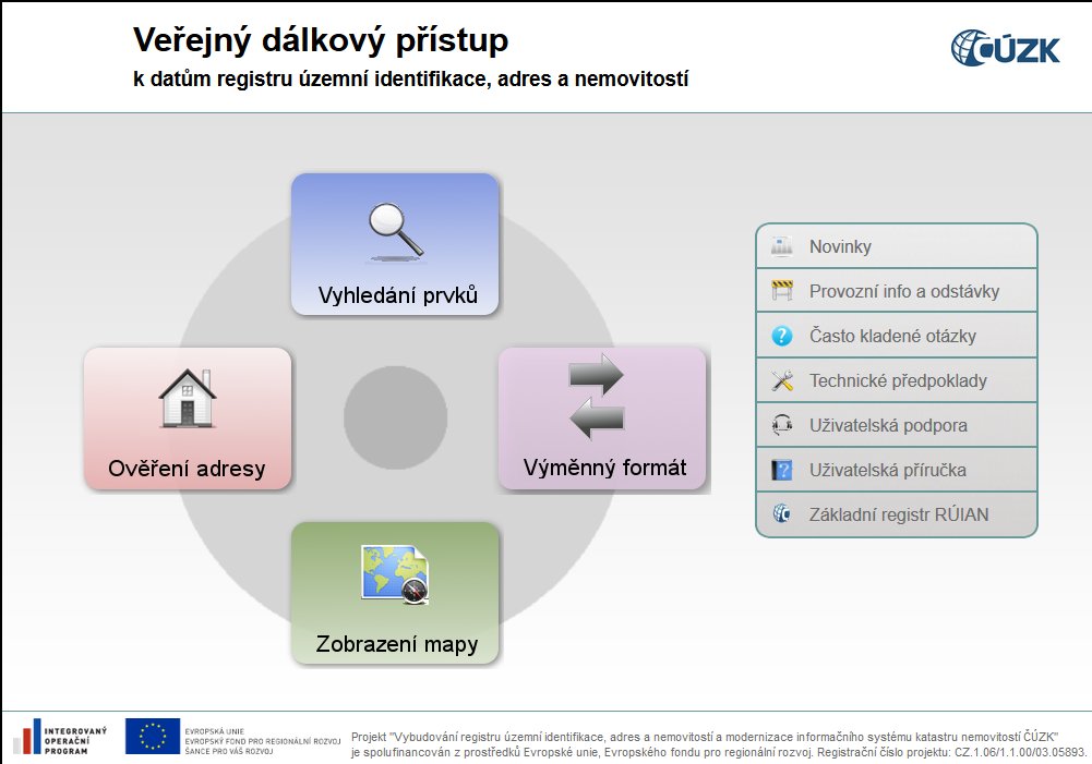
| Prohlížení dat | ||
| Stahování dat |
Služba Atom Stažení předpřipravených souborů - výběr nad mapou | |
| Kontakt - informace o produktu | Český úřad zeměměřický a katastrální, e-mail: cuzk.helpdesk@cuzk.gov.cz | |
Poslední aktualizace produktu:
2025-06-13
2025-06-13
Poslední aktualizace/revize informací:
2025-06-13
2025-06-13
 RSS 2.0 Geoportál ČÚZK