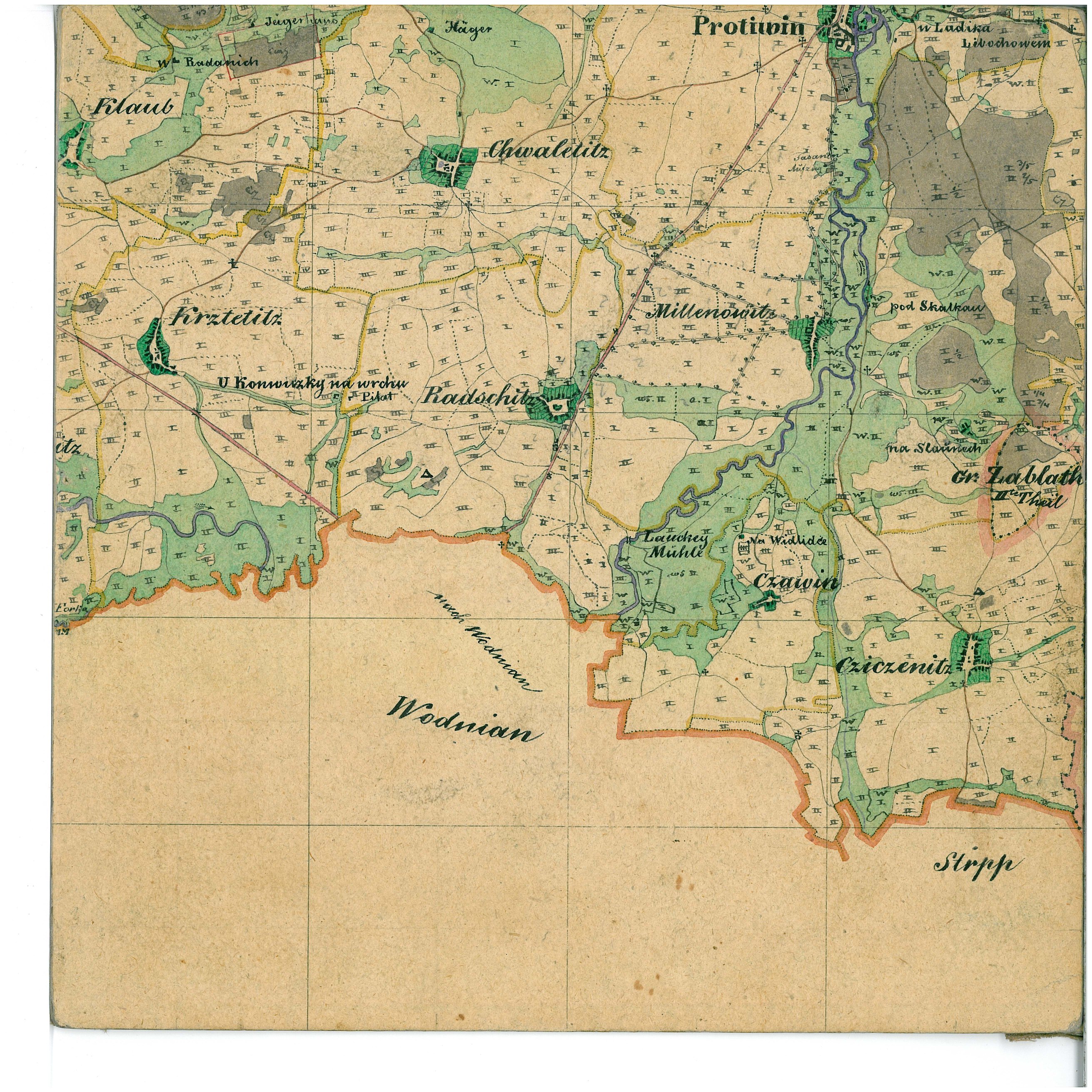
Mapa kultur stabilního katastru 1837-1844
| Informace o produktu | ||
|---|---|---|
 | Název | Mapa kultur stabilního katastru 1837-1844 |
| Obchodní kód | 6381901 | |
| Výdejní jednotka | mapový list Mapy kultur stabilního katastru 1837 - 1844 | |
| Cena za jednotku | Dle Vyhlášky č. 645/2004 Sb. | |
| Výdejní formáty | JPEG | |
| Souřadnicové systémy | Gusterberg (Ferro) | |
| Distribuce | 

| |
| Popis produktu | Mapa kultur (součást vceňovacího operátu stabilního katastru) zachycuje v přibližném měřítku 1:36 000 plošný rozsah jednotlivých existujících kultur v Čechách v rozpětí let 1837-1844. Barevně jsou rozlišeny pole (bíle), pastviny, louky a zahrady (zeleně v různé sytosti), vinice a chmelnice (růžově s odlišením značkou), lesy (šedě). Dále obsahuje vyznačení bonitních tříd v rozsahu I-IV (chybí v některých katastrálních územích a často i u lesů). Detailně je znázorněn průběh hranic katastrálních obcí (tečkované černě se žlutou lemovkou), krajských (tehdejších 16 krajů, červeně), zemských (zeleně a žlutě) a dominií (karmínově). Dalším obsahem jsou panské dvory, mlýny a jiné hospodářské objekty jako papírny, cihelny apod. a také některé hrady. Výškopis na mapě chybí s výjimkami výrazných vrcholů nebo jiných terénních útvarů, kde se uplatňuje primitivní šrafování. | |
| Aktualizační cyklus - stav aktualizace | Po naskenování celé datové série se tato již dále neaktualizuje, jde o data archiválií. | |
| Podmínky přístupu a použití | Dle Vyhlášky č. 645/2004 Sb. | |
| Prohlížení dat |
Mapová aplikace | |
| Stahování dat |
Stažení ukázkového souboru
| |
| Kontakt - informace o produktu | Zeměměřický úřad, e-mail: ZU-obchod@cuzk.gov.cz | |

Poslední aktualizace produktu:
2016-11-30
2016-11-30
Poslední aktualizace/revize informací:
2025-03-06
2025-03-06


 RSS 2.0 Geoportál ČÚZK